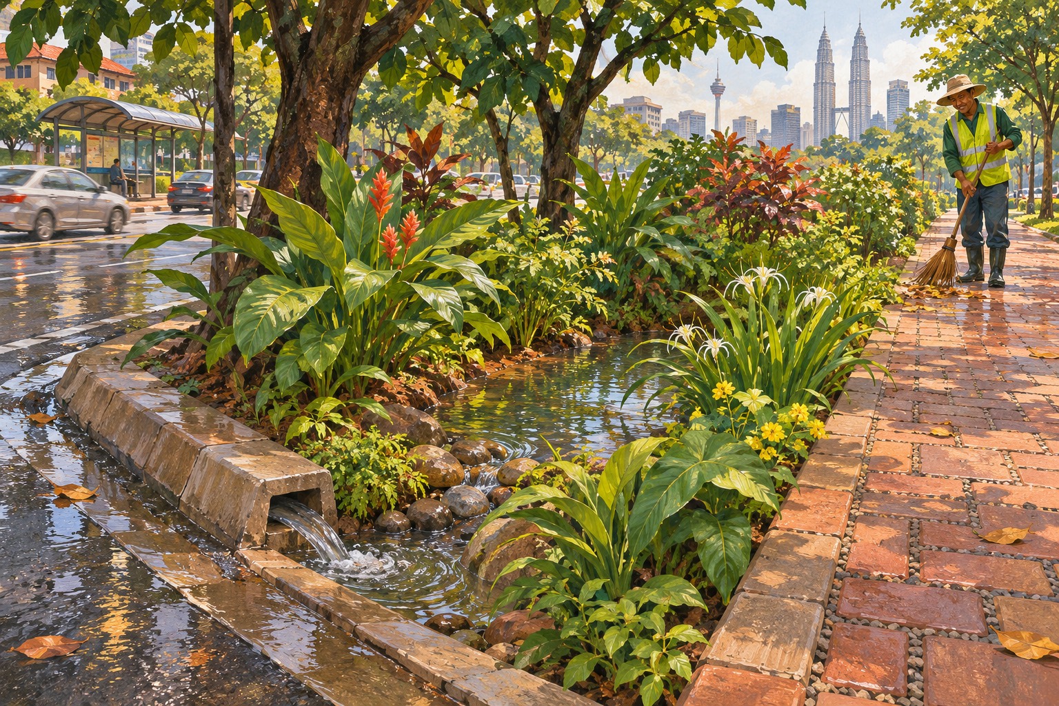
Kuala Lumpur's flood-mitigation work is taking a greener form: more places for rainwater to soak in, gather temporarily and move more slowly before reaching drains. DBKL says its sponge-city programme includes 22,940 shade trees planted between 2023 and 2026, with 8,917 planted this year.
The figures were released on 14 November as the city described its expansion of green infrastructure. For people who live, work or walk through the capital, the approach brings two familiar concerns into the same piece of land: hot urban streets and the rush of surface water during heavy rain.
Tree planting is the most visible part, but the engineering extends beneath and around the plants. Rain gardens, bioswales and permeable surfaces manage the route water takes through a site. Their performance depends on soil, levels, drainage connections and upkeep, as well as what is planted above ground.
Start with where the rain lands
The US Environmental Protection Agency's technical guidance explains green infrastructure as a way to manage stormwater close to its source. Plants, soil and permeable materials help capture water, filter it, let it infiltrate or return some of it to the atmosphere through evaporation and plant processes.
This is relevant background for understanding the Malaysian initiative, rather than a measurement of what DBKL's projects have already achieved. A paved area sends water along the surface towards an outlet. Introducing a suitable planted or permeable area can change that route and provide somewhere for part of the runoff to go.
The key engineering question is how the whole site handles rain. A garden placed beside a road only helps manage the road's runoff if water can enter it safely and the installation has been designed for that purpose. Its levels, soil and outlet are working components of the system.
A garden that temporarily holds water
A rain garden is usually a shallow planted depression that collects runoff and filters it through soil and other materials. EPA distinguishes these from more engineered bioretention installations, which can include an underdrain as well as temporary ponding space. Terminology can overlap between local authorities.
For an everyday observer, a planted area being lower than its surroundings can therefore be deliberate. The low point creates room to receive water. The plants and soil are part of the treatment and storage arrangement, while the drainage design determines how water subsequently leaves the installation.
That does not mean every patch of standing water is functioning correctly. The expected drainage behaviour is specific to the design. Residents reporting a concern can help by identifying the location and describing what they observe after rain, allowing the responsible team to check it against the installation's intended operation.
A bioswale guides the flow
Bioswales are shallow channels that use vegetation or mulch to slow and filter runoff. Their linear shape makes them useful beside roads and other spaces where water needs a managed route. Instead of treating planting and drainage as unrelated tasks, the channel brings them together.
The visible difference may be a landscaped strip with a shallow depression. The functional difference is in its connection with the area draining towards it. Soil condition, the channel's shape and its inlets and outlets all affect whether water can move through the system as intended.
DBKL's public explanation includes this approach alongside rain gardens. The reporting reviewed does not provide a citywide engineering map or quantified storage capacity for each installation. Those details would be needed to assess the contribution at a particular flood-prone street or catchment.
Pavement can have storage underneath
Permeable paving is another part of the toolkit described by the city. EPA guidance explains that water passes through the surface and can be stored in underlying soil and gravel layers. Depending on the design, it then infiltrates further or leaves through an underdrain.
This is why the surface appearance alone tells only part of the story. The layers below it provide space and a route for water. Construction has to preserve those properties, and the installation needs care so that sediment and debris do not obstruct the spaces that allow it to work.
For residents and businesses, such measures could make familiar streets and public spaces part of water management. The effect at any specific property still depends on the drainage network and local conditions. The sources do not establish a guaranteed reduction in flood depth or household losses for an individual address.
Where Kuala Lumpur is expanding
RTM reports that three microforest projects have been implemented at Taman Poket FGV, Lot 20002 on Jalan Sultan Ismail, and Lots 316 and 2002 on Lorong Tuanku Abdul Rahman. Together they involve 600 forest trees from 40 local species.
The same report describes a plan to develop 32 gazetted open spaces using the microforest approach by 2027. Another 183 undeveloped open spaces and pocket-park sites have been identified as potential locations with recreational facilities towards 2040. The wider ambition is to plant one million trees by 2040.
These are different stages of the programme: completed planting, near-term planned sites and longer-term potential land. Keeping them separate makes the progress easier to follow. A count of trees also describes planting activity; assessing shade, survival, runoff and maintenance requires further information about the sites over time.
Upkeep is part of the engineering
EPA's maintenance guidance highlights inspections, vegetation care, clearing sediment and rubbish, repairing erosion and replacing damaged components. Construction practices matter too: compacting or clogging the soil and filter materials can interfere with the very infiltration the installation is intended to provide.
The practical lesson for a city programme is to assign responsibility for the years after planting. For members of the public, it is useful to recognise these spaces as infrastructure as well as greenery, keep waste out of them and report blocked inlets or damaged areas to the responsible authority.
KL's latest announcement gives residents concrete locations and targets to follow. The next useful evidence will be how those sites perform through rain and heat, with healthy planting and working drainage maintained together over time.
Sources & further reading
Prepared with AI assistance from linked reporting. The cover is an AI-generated editorial illustration. Spotted something we should correct?