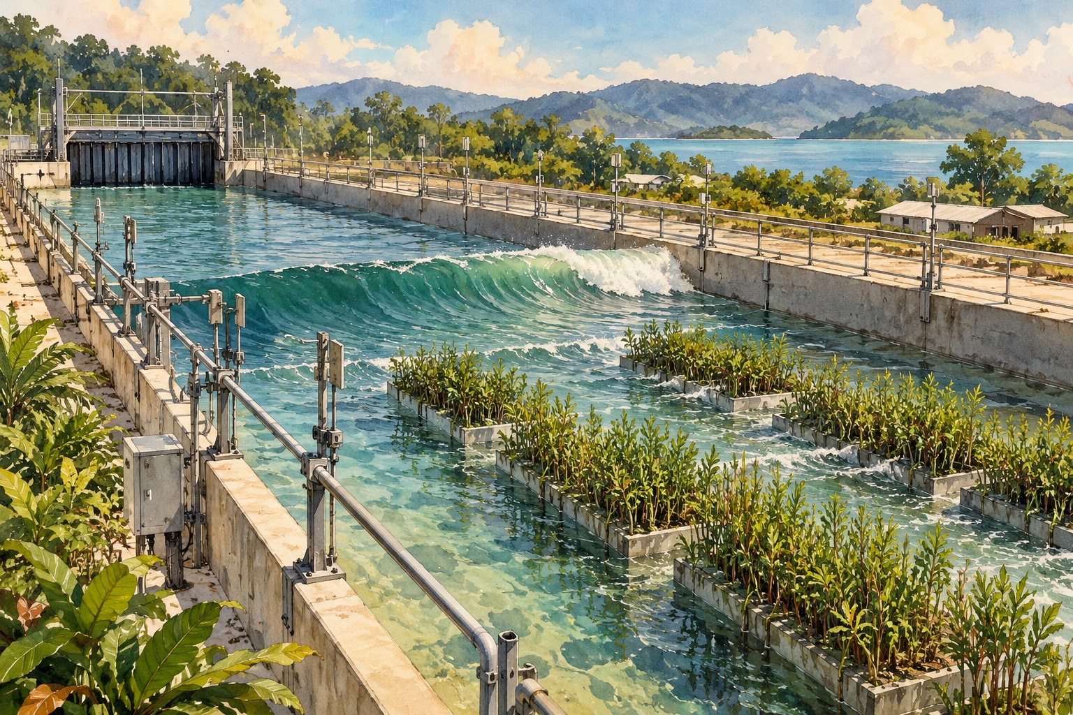
If a stretch of coastal plants is going to help protect a town, someone needs to know what happens when the waves stop being gentle. A Dutch research team took that question unusually literally: they moved a real salt marsh into a giant wave-testing channel.
Not a plastic model. Not a neat row of plants in flowerpots. The experiment used 306 square metres of marsh, including its soil and vegetation, and exposed it to waves reaching two metres.
The striking part was underneath. After 21 hours of wave action, the marsh surface had lost an average of only seven millimetres. Above it, however, the plants took a much harder beating. The distinction is the heart of this story about engineering with a living landscape.
The research appeared in Nature, with fresh reporting and the journal’s public research summary on 22 October. It offers evidence for designing coastal protection, rather than a claim that planting greenery makes a shoreline storm-proof.
First, what exactly did they move?
A salt marsh is a coastal wetland that tides regularly flood and drain. NOAA describes a landscape of muddy or peaty, waterlogged ground threaded with roots, often along sheltered shores and estuaries.
That is important because its protective role is not simply a matter of stems sticking out of water. The ground beneath the plants forms part of the coastal profile. Roots, accumulated sediment and vegetation interact with moving water.
In everyday terms, the wetland is a whole structure. Treating it as a decorative strip of grass misses the very thing the researchers were trying to test: how the soil and plants behave together when waves keep arriving.
For this experiment, material came from the Peazemerlannen nature reserve on the Wadden Sea coast. ScienceAlert reports that the team transported heavy blocks containing both vegetation and substantial soil, taking care to keep them intact during the journey.
The machine is part of the technology
The Deltares Delta Flume is 300 metres long and five metres wide. It allows researchers to test flood defences at, or close to, their real scale rather than shrinking everything into a small laboratory tank.
That matters for materials such as mud, sand, clay and plants. Their behaviour can be difficult to reproduce faithfully in miniature. A tiny model may look convincing while missing what happens within the material itself.
Deltares says the facility can measure wave heights, pressures, forces, flow and damage. Its moving wave board can also respond to reflected waves, helping prevent reflections from confusing the test.
So this is technology beyond phones and software: a controlled physical environment large enough to put a piece of coastline under stress and measure what survives. The test is deliberately dramatic, but the useful output is the evidence it produces.
Surviving a storm and weakening its waves are different results
Nature Portfolio’s summary reports that above-ground plant biomass fell to roughly 20–25% of its initial level after the 21-hour sequence. Stem lengths also shortened substantially.
The ground’s relative stability therefore should not be read as the whole marsh emerging untouched. Plants can be damaged even while the underlying surface remains resistant to erosion.
That damage changes performance. Vegetation creates resistance as water passes through it, but flattened or broken stems cannot provide the same contribution as an intact stand. The size of the waves also matters.
The journal’s summary says the plants’ contribution was strongest for smaller waves. In the researchers’ wider analysis, lower-energy marsh coasts with waves up to about one metre could see vegetation-related wave reduction exceeding 10% and reaching as much as 50%.
Those are conditional findings, rather than one percentage that can be attached to every wetland. The useful engineering question becomes: which coast, which vegetation, and under which wave conditions?
A living buffer can work alongside a hard defence
Deltares describes the role of the raised marsh bed itself in slowing waves, with plants supplying an additional contribution. Its account also stresses that the wetland can be combined with dikes and seawalls.
That gives planners more than a choice between an entirely concrete coast and an entirely natural one. A buffer in front of an engineered defence may reduce the force reaching that defence, provided its performance has been assessed for the site.
The institute also points to a longer-term constraint: marshes can accumulate sediment and grow as water levels rise, but that ability is limited. Insufficient sediment or erosion at their edges can cause them to retreat.
Keeping a wetland on a map is therefore different from keeping it functional. Its condition, space and supply of sediment matter after the initial conservation or restoration decision.
Why Malaysian readers should care, without importing the headline wholesale
Malaysia’s familiar coastal vegetation often includes mangroves, which are trees and shrubs rather than the low marsh vegetation in this experiment. NOAA explains that mangrove roots slow tidal water, encourage sediment to settle and help stabilise shorelines.
That is a relevant connection, but it does not make this Dutch experiment a direct test of a Malaysian mangrove belt. Different vegetation, ground conditions and coastal exposure require their own assessment. A figure measured or modelled for one setting is not a promised protection level for another.
For residents, the distinction matters whenever a proposal claims that a stretch of planted coast will protect homes or roads. Useful questions include what conditions it was designed for, how its condition will be monitored and how it works with existing defences.
There is a wider benefit worth keeping in the conversation too. NOAA describes salt marshes as habitats that support fisheries and help filter runoff. Coastal protection is one service within a living ecosystem, rather than its only reason to exist.
The Dutch team has supplied an unusually tangible piece of evidence: real ground can hold up while the plants above it lose much of their strength. Designing around both results is far more useful than assuming a green shoreline will either save everything or do nothing.
Sources & further reading
Prepared with AI assistance from linked reporting. The cover is an AI-generated editorial illustration. Spotted something we should correct?