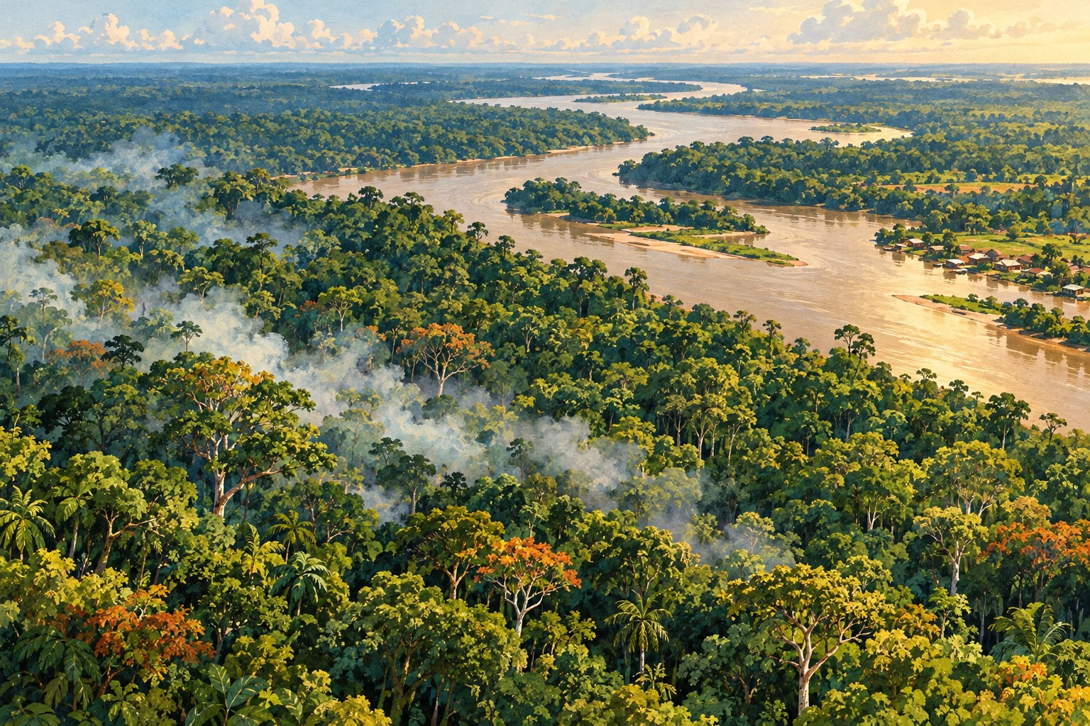
A satellite map can look reassuringly quiet while a forest is still burning underneath. Around Santarém in Brazil, a NASA-linked researcher has identified roughly 40% more fires than the active-fire counts visible through NASA’s standard FIRMS service.
That finding appears in NASA Earth Observatory’s 15 October report on the Amazon’s worsening fire season. It comes with an awkward problem: the very smoke that tells people something is burning can also help conceal the fire from a satellite overhead.
For anyone who has spent the week checking haze updates, the story has a familiar starting point. But this is reporting from Brazil, with its own locations, measurements and consequences. It is not evidence that Amazon smoke is causing Malaysia’s current haze.
The forest canopy can hide what is happening below
Shane Coffield, a University of Maryland researcher working at NASA’s Goddard Space Flight Center, is analysing observations from VIIRS, an instrument that detects signals including the heat associated with fires.
His work looks for potential fires that did not cross the threshold needed for inclusion in the official products distributed by FIRMS, the Fire Information for Resource Management System. He plans to share their locations with MapBiomas, a network that maps fires and land-use change in the Amazon.
NASA describes these extra detections as candidate fires. The roughly 40% difference applies to Coffield’s work around Santarém; it should not be stretched into a claim that every fire map everywhere misses the same proportion.
There are several ways a real blaze can be hard to see. Clouds can interrupt the view. Thick smoke can interfere with detection. Trees can shelter a lower-intensity fire moving across the forest floor, keeping its infrared signal from reaching a sensor clearly enough.
This creates a nasty mismatch. A day with very few satellite detections may still be a day with serious burning on the ground. Coffield says the team has seen that problem on some of the smokiest days.
A city of more than two million people is breathing the consequences
NASA’s Aqua satellite captured smoke along both sides of the Amazon River on 12 October. The affected stretch includes forests near Manaus and Santarém and extends towards the river’s mouth.
In Manaus, the capital of Amazonas state, officials reported fine-particle concentrations above 135 micrograms per cubic metre that day. NASA’s report describes school closures and cancelled city events and children’s sports activities amid warnings about the air.
That measurement is a concentration of PM2.5, the tiny particles suspended in the air. It is not Malaysia’s Air Pollutant Index, and the numbers cannot simply be read as if they use the same scale.
The image is also a dated observation, taken on 12 October and explained in the newly published report. It does not show conditions at every location at the moment someone reads this article.
Even with those limits, the reported disruption is concrete: smoke is affecting daily life in a city with more than two million residents, while researchers are trying to establish how many fires are actually feeding it.
El Niño helps set the stage; people usually provide the spark
Douglas Morton, an Earth system scientist at NASA Goddard, describes a sequence of tropical fires associated with the shifting rainfall patterns of El Niño.
In his explanation, drought and peat fires first intensify in equatorial Asia. Elevated fire activity then appears in the central and eastern Amazon. The pattern was documented after the 2015–2016 El Niño and observed again in 2023.
This year’s Amazon increase began in September. Morton links it to the same broad progression, following drought, fires and smoke in Indonesia since August.
A common climate influence does not mean one forest fire physically travels across the ocean to start another. Different regions become vulnerable at different times as rainfall patterns change. Local ignition and local conditions still matter.
In the Brazilian Amazon, Morton says lightning starts fewer than 1% of fires. Much of the current burning began with fires used to manage land, such as clearing vegetation in pastures or fields, before escaping into dry forest.
Brazil’s meteorological agency reported rainfall in Manaus at 95% below normal in August and 60% below normal in September, according to NASA. With the understory dried out, a fire that started for one purpose can keep spreading beyond it.
A forest can be green overhead and vulnerable underneath
Rainforest species generally are not adapted to repeated fire. Morton warns that damage from earlier burning can leave a forest more susceptible when another dry spell arrives.
Partially charred trees and degraded vegetation do not reset neatly after the previous season. That history helps explain his concern that some areas could burn more intensely this time, although it is a warning about risk rather than a measurement of every current fire.
Coffield’s satellite analysis indicates around 50 to 70 uncontrolled fires in the Santarém region alone. Finding additional candidate fires is useful because an apparently sparse map can understate where researchers need to look more closely.
The work also shows why one data layer cannot answer every question. An active-fire detection helps locate heat at the time of observation. It does not, by itself, describe all damage beneath trees or establish when an entire forest will stop burning.
The next places at risk are not all on the same calendar
Morton expects burning near Manaus and Santarém to continue until the rainy season arrives in December 2026 or January 2027.
He forecasts a later wave of elevated risk further north in November and December, including Roraima, northern Pará and Amapá in Brazil, and parts of Venezuela, Guyana and Suriname. He also identifies a possible peak in the southern Amazon region around August and September 2027.
Those are a scientist’s expectations based on the climate pattern, not a timetable guaranteeing that a particular town will burn. They do give places not yet at their peak a reason to prepare and avoid setting fires.
For now, the surprising detail is already visible in the research: a map with fewer fire dots can sometimes mean a poorer view, rather than a quieter forest.
Sources & further reading
Prepared with AI assistance from linked reporting. The cover is an AI-generated editorial illustration. Spotted something we should correct?